


Why Cumulus Clouds Have Flat Bases

Look across a sky of scattered puffy clouds and compare their lower edges. Some seem to start along the same invisible line, while their tops reach different heights. That contrast is a useful starting point for understanding a cloud. The relatively level base marks where rising air begins to produce visible droplets under the local conditions. There is no solid shelf beneath it, and the apparent line does not have to extend across the whole sky.
Featured photo: Srini Somanchi on Unsplash. This close view shows puffy cloud tops; the lower edge is partly outside the frame.
A visible boundary, not a platform
Cumulus is the familiar heap-shaped cloud with a rounded, cauliflower-like top. Its lower boundary can look much smoother than the rest of its outline. The Met Office’s 2023 introduction to clouds explains that rising air expands as atmospheric pressure decreases, causing the parcel to cool. If it reaches saturation, water vapor can condense into visible droplets. The level where this begins helps explain the cloud’s lower edge.
Thinking of the base as a change in visibility is more helpful than imagining a cloud resting on something. The air and moisture do not suddenly begin at the outline you can see. Your eyes are picking out the cloudy portion of the scene, not drawing a complete map of the air around it.
Water vapor and cloud droplets are different
The white cloud is not a pocket of visible water vapor. The NWS glossary defines cloud condensation nuclei as small airborne particles on which water vapor condenses into droplets. Condensation is the change from vapor to liquid or solid. For this explanation, the important transition is the formation of liquid droplets that make the cloud visible.
Meteorologists also describe a lifting condensation level. The NWS definition identifies the level at which a parcel of moist air becomes saturated as it is lifted and cools without exchanging heat with its surroundings. This is a way to describe a process for a parcel of air, not a promise that every cloud in a photograph begins at one universal height. The technical term is useful because it connects a cloud boundary to the condition of the rising air.
Why nearby bases can line up
The NWS explanation of cloud shapes notes that atmospheric conditions often vary less across a local horizontal area than they do with height. Nearby rising air can therefore reach condensation under similar conditions and at similar levels. Several separate clouds may acquire bases that look roughly aligned, even though the individual clouds have different outlines above them.
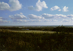
The qualifications matter. “Nearby,” “similar,” and “roughly” keep this explanation realistic. A flat-looking base does not establish a fixed altitude for every location or every day. Nor should a row of clouds be treated as a perfectly surveyed horizontal plane. The explanation concerns a common pattern, rather than an exact geometric rule.
Rounded tops can keep growing
The Met Office guide to low-level clouds describes cumulus as individual, cauliflower-shaped clouds produced by convection. Air heated near the surface rises, cools, and forms cloud droplets. When conditions permit, a cumulus cloud can continue to grow upward. That helps explain why similar-looking bases do not require identical tops.
The guide distinguishes shallow cumulus from taller forms. Its categories include cumulus humilis, which is wider than it is tall, and cumulus congestus, which has much greater vertical development. A photograph of rounded cloud tops alone cannot show you the shape of a base that lies outside the frame.
A flat base is not a forecast
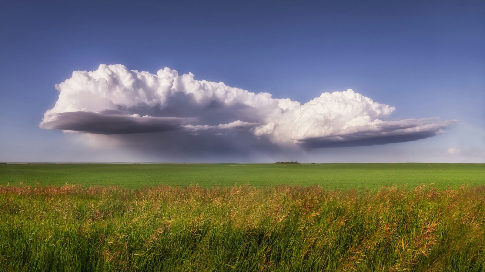
Small cumulus clouds are commonly associated with fair weather, but the shape is not a guarantee of what happens next. The Met Office explains that cumulus can develop into towering clouds and cumulonimbus when conditions allow. Showers can accompany that development.
The storm photograph below is included as a contrast, not as an example of an ordinary small fair-weather cloud or a report of current weather. A cloud’s lower outline is only one feature. For decisions about an outdoor trip, use the current local forecast and warnings rather than trying to obtain an all-clear from a single cloud shape.
Look at the whole outline
For a simple observation, choose several clouds visible in the same part of the sky. Compare their lower edges first, then their rounded tops. Notice where the outline is clear and where another cloud or the edge of your view hides it. Describe what you can actually see rather than assigning a precise height from appearance alone.
The useful takeaway is modest: many cumulus bases look level because visible condensation begins under similar local conditions. Their puffy tops record a different part of the picture. Looking at both makes the familiar cloud shape easier to understand, without turning it into a universal rule.
Official references
- National Weather Service: Clouds and Contrails
- National Weather Service glossary: condensation and related terms
- Met Office: An introduction to clouds (2023 factsheet)
- Met Office: Low level clouds
Sources accessed October 24, 2026.
Written by OnelROR Editorial Team. October 24, 2026. 4-minute read.